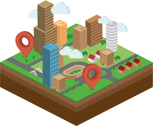
Geographic Information System (GIS)
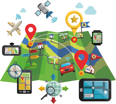
We specialize in creating advanced Geographic Information System (GIS) solutions that enable businesses to utilize spatial data for strategic decision-making and efficient resource management. Our state-of-the-art GIS technology equips organizations with the tools to visualize, analyze, and interpret spatial information, facilitating more informed and effective decisions.
Our extensive GIS offerings serve various sectors, including urban planning, environmental management, logistics, and agriculture. We customize our solutions to address specific industry challenges, helping clients fully leverage the power of spatial data. By focusing on innovation and user-friendly design, we aim to exceed client expectations and drive sustainable growth.